HOME WORLD INDIA BHOPAL BUSINESS ENTERTAINMENT SCIENCE & TECHNOLOGY SPORTS HEALTH
WTN SPECIAL GOSSIP CORNER RECIPES DRINKS FUN FACTS WTN HINDI
EDUCATION LIFESTYLE TRAVEL ART & LITERATURE BIG MEMSAAB OPINION & INTERVIEW BrahMos
ABOUT US PRIVACY POLICY SITEMAP CONTACT US
BREAKING NEWS

What is Landsat?

22 Apr 2017
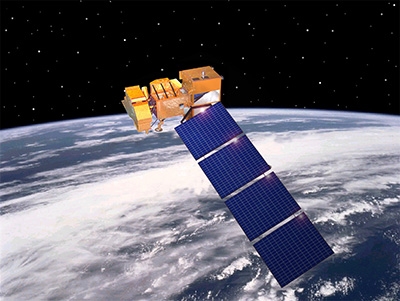
Landsat  is a series of unmanned scientific satellites equipped with cameras, launched by the United States beginning  in 1972. With a primary mission of collecting information about Earth’s natural resources and monitoring atmospheric and oceanic conditioning, Landsat collects surface images in bands of 115 miles square and has the capability to rephotograph each area every 18 days. Overall, the Landsat system provides low and medium-resolution mapping.
Newer Landsat satellites have more data-gathering equipment, including a thematic mapper with resolution in seven spectral bands, or wavelengths of light.
In 1985 Landsat become private but was transferred back to government control in 1992. Landsat  8 was launched in February 2013, and has higher resolution instruments than earlier models.